About
The Northern Woods & Water Highway truly offers a captivating journey through some of the surprising landscapes and rich histories of western Canada for travellers looking to explore this unique route.
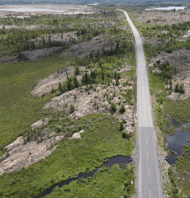
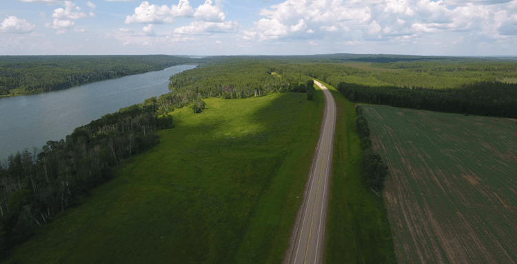
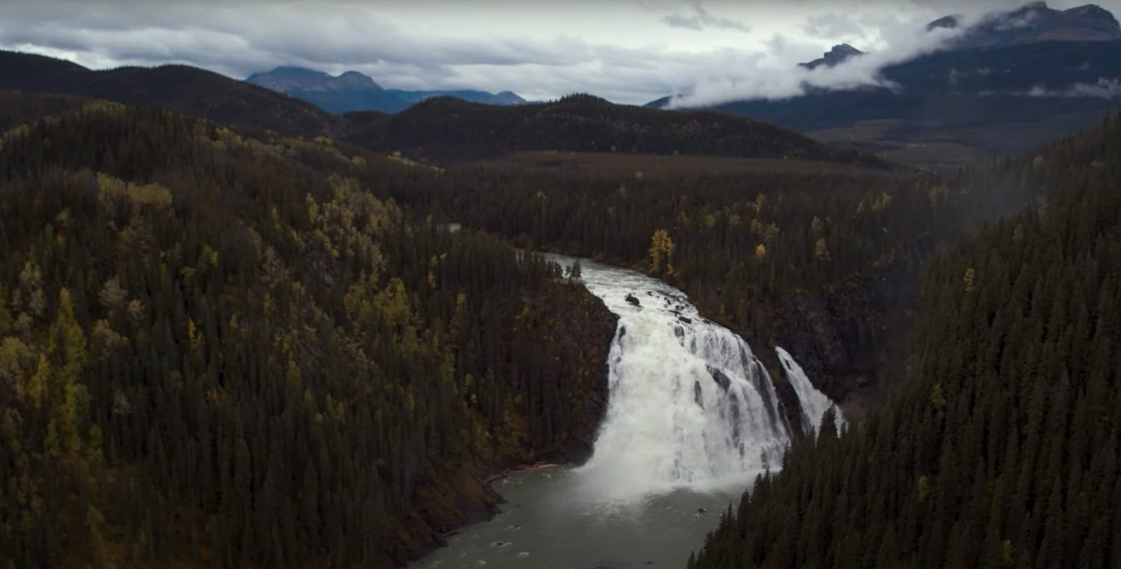
Exploring western Canada beginning at Winnipeg the Highway ventures north through lake land into the quiet beauty of the northern boreal forest around The Pas. Experience the rugged terrain and stunning landscapes characteristic of the Canadian Shield geological formation around Flin Flon then venture across northern Saskatchewan and Alberta’s scenery alternating between vibrant agricultural areas and dense boreal forest numerous times. The route showcases the region’s natural beauty and agricultural heritage. Look for local farm markets offering fresh produce. NE BC the highway turns south through the breathtaking mountain views and waterfalls of the Pine Pass into BC’s interior to BC’s lower mainland.
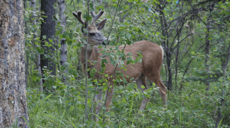
Wildlife along the Northern Woods & Water Highway is diverse and abundant, thanks to the variety of ecosystems present in the region. You can expect to see moose, black bear, deer, and various small mammals in the boreal forests and parklands. The diverse habitats also make this region a birdwatcher’s paradise. Bring binoculars and a field guide to spot various species, particularly near wetlands and forests. Numerous trails cater to all skill levels, offering everything from leisurely walks to more challenging hikes. Don’t forget your camera to capture the beauty of nature.
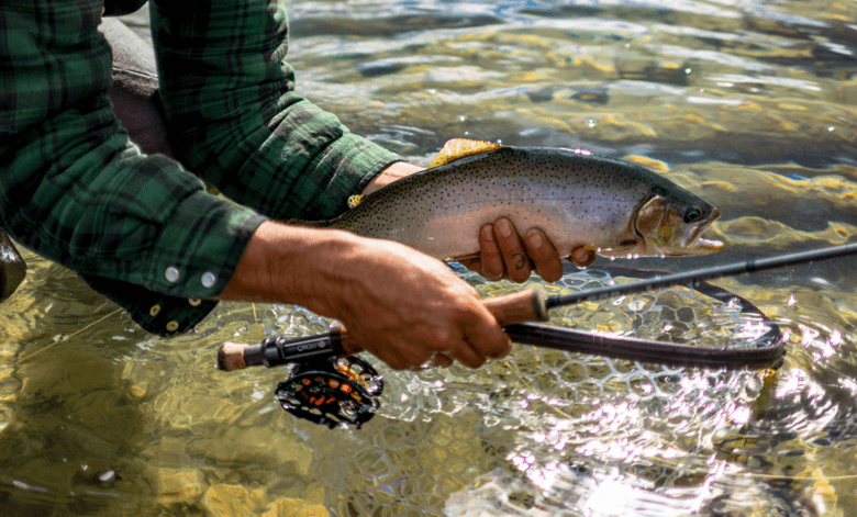
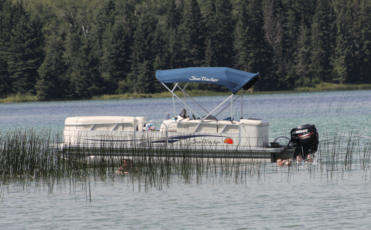
Enjoy water activities like swimming, fishing, boating, canoeing, and jet boat excursions. The many lakes, rivers, and streams along the route provide excellent fishing opportunities. Try your luck at catching a variety of species including walleye, northern pike, and trout.
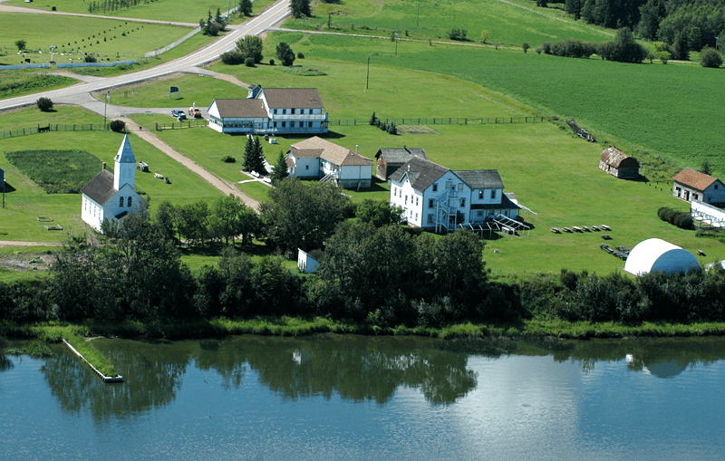
The highway is steeped in the history of early explorers and settlers, providing educational opportunities through local museums and interpretive centers and heritage sites along the way. Visit the local museums to learn about military history and resource extraction heritage of the region. Experience the local Indigenous culture and history through art and cultural centers.
With many Provincial and regional parks as well as community campgrounds available, you can enjoy a night under the stars in a peaceful setting, often near lakes, rivers, forest and trees that will provide the sounds of nature.
Explore the local golf courses, which are typically less crowded and set against picturesque backdrops.
Small Town Charm, with over 90 communities along the route, ranging from small towns to larger centers, travellers can enjoy the warmth and friendliness of rural Canadian culture. Only a handful of these towns have populations exceeding 10,000, ensuring more intimate experiences.
A road trip along the Northern Woods and Water Highway should be on your bucket list.
